File:Artipellin county map.png
Revision as of 15:13, 23 May 2015 by Leord (talk | contribs) (Leord uploaded a new version of "File:Artipellin county map.png")
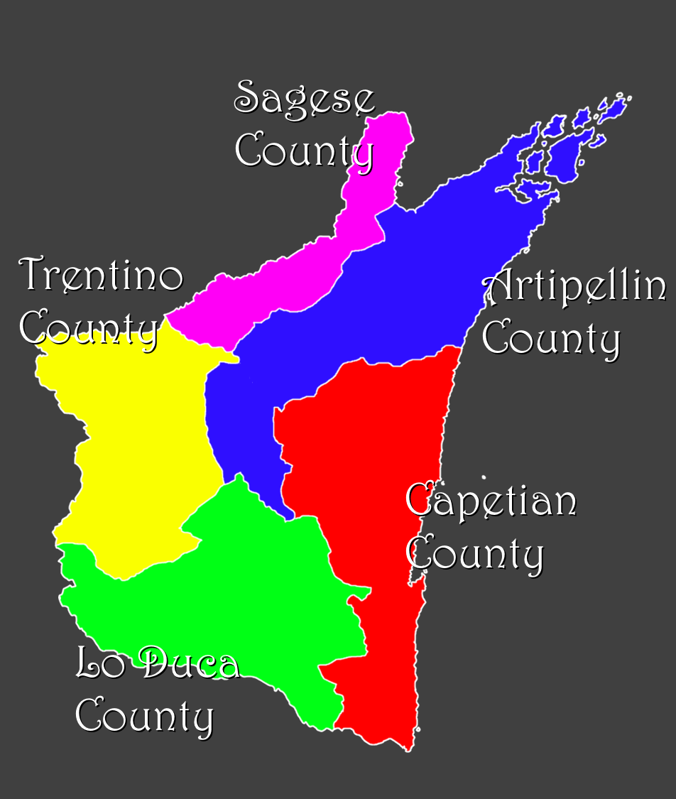
Size of this preview: 507 × 599 pixels. Other resolution: 952 × 1,125 pixels.
Original file (952 × 1,125 pixels, file size: 162 KB, MIME type: image/png)
The map of Artipellin's different counties, with annotated cities and House names.
File history
Click on a date/time to view the file as it appeared at that time.
| Date/Time | Thumbnail | Dimensions | User | Comment | |
|---|---|---|---|---|---|
| current | 15:13, 23 May 2015 | | 952 × 1,125 (162 KB) | Leord (talk | contribs) | |
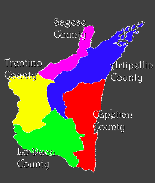
| 11:42, 8 May 2015 |  | 1,270 × 1,046 (1.08 MB) | Leord (talk | contribs) | The map of Artipellin's different counties, with annotated cities and House names. Category:Artipellin Category:Kingdoms Category:Maps Category:Images |
You cannot overwrite this file.
File usage
The following page uses this file: