Difference between revisions of "Category:Maps"
Jump to navigation
Jump to search
m |
|||
| Line 2: | Line 2: | ||
[[Category: | [[Category:Lore]] | ||
[[Category:Images]] | [[Category:Images]] | ||
Latest revision as of 18:20, 7 July 2015
This is a category with maps and map illustrations relating to Hökaland.
Pages in category ‘Maps’
The following 2 pages are in this category, out of 2 total.
Media in category ‘Maps’
The following 24 files are in this category, out of 24 total.
- Areas of Capitoleum.png 1,200 × 782; 1.6 MB
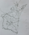
- Artipellin county map.png 952 × 1,125; 162 KB
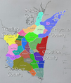
- Artipellin map.png 952 × 1,125; 1.22 MB
- Artipellin provice map.png 952 × 1,125; 1.22 MB
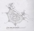
- Capitoleum sewage.png 336 × 273; 89 KB
- Capitoleum.png 1,000 × 782; 1.35 MB
- Gwennport archepilago early sketch.png 800 × 721; 952 KB
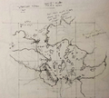
- Gwennport early sketch.png 800 × 754; 1.02 MB
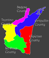
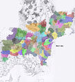
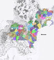
- Haldean Kingdom Counties sketch.png 525 × 391; 233 KB
- Haldean Kingdom sketch.png 591 × 497; 420 KB
- Hökaland continent in comparison to continental Europe.png 800 × 880; 562 KB
- Hökaland continent.png 578 × 1,000; 551 KB
- Hökaland full and nature.jpg 4,000 × 4,401; 3.26 MB
- Hökaland full.jpg 4,000 × 4,401; 3.1 MB
- Hökaland maps in perspective.png 1,701 × 1,000; 2.18 MB
- Hökaland realms.png 578 × 1,000; 629 KB
- Khordaldrum map.png 1,000 × 551; 248 KB
- Kingdoms and cities.jpg 2,160 × 1,512; 576 KB
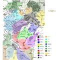
- Midrealm kingdoms and names.jpg 1,319 × 1,319; 233 KB
- Scima City map.png 1,000 × 934; 1.11 MB
- The Realms full map.jpg 2,000 × 2,201; 875 KB
- Wellbarrow areas.png 912 × 601; 460 KB
- Wellbarrow geography.png 350 × 527; 144 KB
- Wellbarrow township.png 800 × 760; 529 KB

